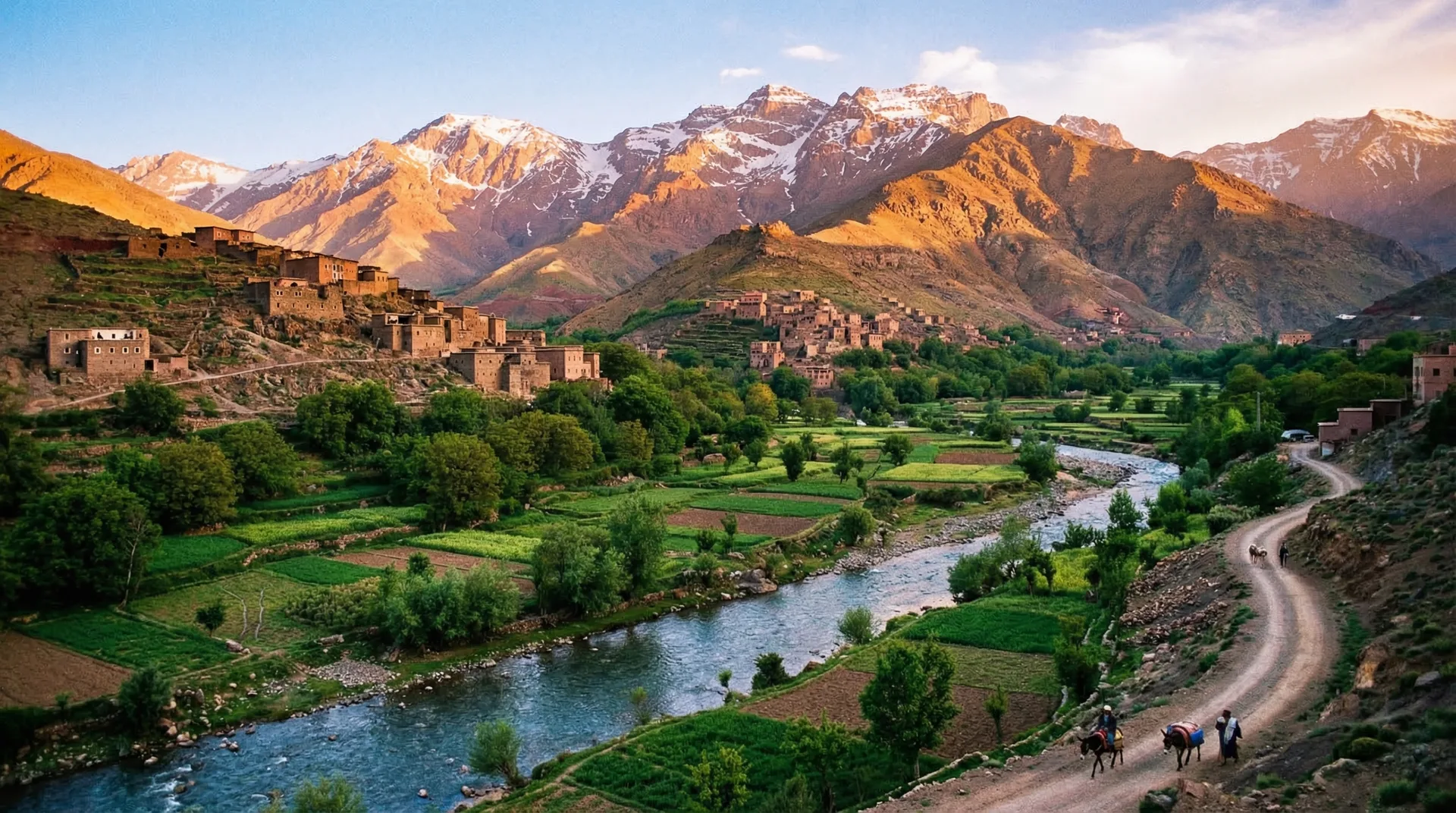
Step out of the Marrakech medina and within ninety minutes you are standing beneath Jbel Toubkal — at 4,167 metres, the highest peak in North Africa. The High Atlas is the city's natural backyard: a single-day valley walk from Imlil, an Ourika afternoon, a village-to-village traverse or a full summit push are all reachable from a Marrakech base with the right season, a licensed guide and sensible preparation.
In this guide
When is the best season to trek the High Atlas from Marrakech?
Plan around the city's calendar and the mountain's: April to June and September to October are the sweet spot. The Marrakech heat eases on the trails, the snow has cleared (or is clearing) from the high ground, and the valleys above Imlil are green with walnut and cherry. July and August are walkable in the cool of the morning but punishingly hot on the lower paths by midday — the same months you would flee the Marrakech medina for shade. Toubkal's summit can hold ice into May in heavier snow years, which keeps crampons in the pack later than you might expect.
Winter (December to February) turns the range into a proper alpine outing. Toubkal under snow, glimpsed from a Marrakech rooftop on a clear morning, is one of the great sights of the south — but a winter ascent means an ice axe, crampons and a guide with mountaineering experience, all arranged in Imlil before you set off. The late-February to March melt leaves the lower mule tracks muddy and the stream crossings cold and full.
Jbel Toubkal — the summit route and how hard it really is
Toubkal (4,167 m) is the obvious prize and is within reach of fit, well-acclimatised walkers with no technical climbing behind them — but it earns its respect. The standard two-day itinerary starts in Imlil (1,740 m), the gateway village a 90-minute transfer from Marrakech: day one climbs to the Toubkal Refuge at 3,207 m (3–4 hours), day two pushes to the summit and back (3–4 hours up, 2–3 down). Above the refuge the path dissolves into rocky scree with no waymarking, which is one reason a licensed guide is both legally required and genuinely useful here.
Altitude, not gradient, is what catches people out. Travellers who flew into Marrakech only days earlier often feel the thin air above 3,500 m — headaches, shortness of breath and heavy legs are normal. Go slowly, sleep at the refuge to let your body adjust, and be ready to turn back if symptoms build rather than ease. Anyone with a heart or respiratory condition should clear the climb with a doctor before booking.
- Fitness needed: solid, not elite — comfortable walking 5–7 hours a day over rough ground.
- Snow-free summit window: roughly May to October; expect crampons and an ice axe November to April.
- Guide and mule: compulsory for the Toubkal summit; mules carry your pack to the refuge so you climb light.
- Above the refuge (3,207 m to 4,167 m): steep, loose scree — demanding underfoot but not technical climbing.
Multi-day village treks from Imlil
Imlil sits 90 minutes from the Marrakech medina, which makes it the natural launchpad for longer walks as well as day trips. Beyond Toubkal itself, the range threads together Berber hamlets, walnut groves and quiet side valleys on classic traverses. The well-loved three-day route links Imlil, Tacheddirt and the Amsouzart side of the massif; crossing the high Tizi n'Ouanoums pass drops you into the wilder, less-trodden Azzaden Valley. These village-to-village walks overnight in gîtes — simple mountain lodges where dinner is a tagine cooked over wood and the welcome is warm even when the rooms are basic.
A five-day circuit can stitch the Toubkal summit onto a village traverse and bring you back through different valleys for variety. The licensed guide associations based at the Imlil trailhead arrange custom routes readily; day rates for a qualified mountain guide run in the region of MAD 500–800 (roughly US$50–80), with mule hire on top for carrying packs.
Easy day trips from Marrakech: Imlil and the Ourika Valley
You do not need an overnight expedition to taste the Atlas — many Marrakech visitors do it as a single day out and are back on a rooftop terrace by evening. From Imlil, the walk up the Ait Mizane valley to the Berber shrine village of Sidi Chamarouch is a 3–4 hour return that delivers real mountain scenery with no special kit. The Tizi n'Mzik pass (2,489 m) is a long half-day with panoramic views toward Toubkal. Closer still, the Ourika Valley is only 45 minutes from the city: a gentle river-and-waterfall walk through Setti Fatma, lunch beside the water, and a Berber village or two make it the most accessible mountain half-day from a Marrakech base. Most of these lower walks can be done without a guide, though one adds navigation confidence and a great deal of context.
Frequently asked
How fit do you need to be to climb Toubkal?
Genuinely fit rather than casually active. You should be at ease walking 5–7 hours a day with steady elevation gain. If you can manage a full hill day without real pain you are probably up to it — altitude, not technical difficulty, is the true limiter. Build a base of walking and cardio for 6–8 weeks before you fly into Marrakech.
Do I need a guide to trek in the Atlas Mountains?
A licensed mountain guide is legally required for the Toubkal summit and strongly advised for any multi-day route. On the well-trodden lower valley walks around Imlil and Ourika a guide is optional, but worth it — they read the unmarked trails, speak with the villages, and explain what you are looking at. Most reputable Marrakech operators arrange a licensed guide as part of the trip.
Can you see the Atlas Mountains from Marrakech?
On a clear winter or spring morning the snow-capped High Atlas ridge is visible from many Marrakech rooftops and from the Palmeraie edge of the city, though Toubkal itself is hard to single out among the peaks. The 90-minute drive to Imlil puts the whole massif directly in front of you.
What is Imlil like as a trekking base?
Imlil is a small Berber village at 1,740 m with a scatter of guesthouses (simple to comfortable), a few cafés and the licensed guides association office at the trailhead. There is electricity and running water but no luxury hotels — the appeal is authenticity and immediate access to the trails. Several guesthouses in the surrounding hamlets offer a higher comfort standard for those splitting a stay with the Marrakech medina.
Is trekking in the Atlas Mountains safe?
Yes, for prepared walkers with the right guide and kit. The real hazards are altitude illness above 3,500 m, weather closing in fast over the refuge, and losing the route on unmarked scree — a licensed guide manages all three. Carry travel insurance that explicitly covers high-altitude trekking and helicopter rescue, and let your Marrakech riad or operator know your plan.
Planning a trip?
Let a Marrakech atelier handle the details.
Tell us your dates and style and we'll send a written itinerary and a transparent quote within 24 hours.
Request an itineraryKeep reading
Planning
The Best Time to Visit Morocco
For a Marrakech city break, spring (March–May) and autumn (September–November) hit the sweet spot — sun-warmed days in the medina, cool enough rooftops at dusk, and perfect conditions for Agafay, the Ourika valley and an Atlas or desert day trip.
Practical
What to Pack for Morocco
Pack light, modest and layered. A Marrakech trip swings from hot medina days to cool rooftop dinners and genuinely cold Agafay or Atlas nights, so breathable layers, broken-in walking shoes and one warm top cover almost everything.
Itineraries
Morocco Itinerary: 14 Days — The Grand Two-Week Route
Two weeks is enough to cover Morocco's full sweep and finish in our home city: the imperial cities of the north, the High Atlas, the kasbah road, a night in the Sahara, and a final flourish in Marrakech — all at a genuinely unhurried pace.