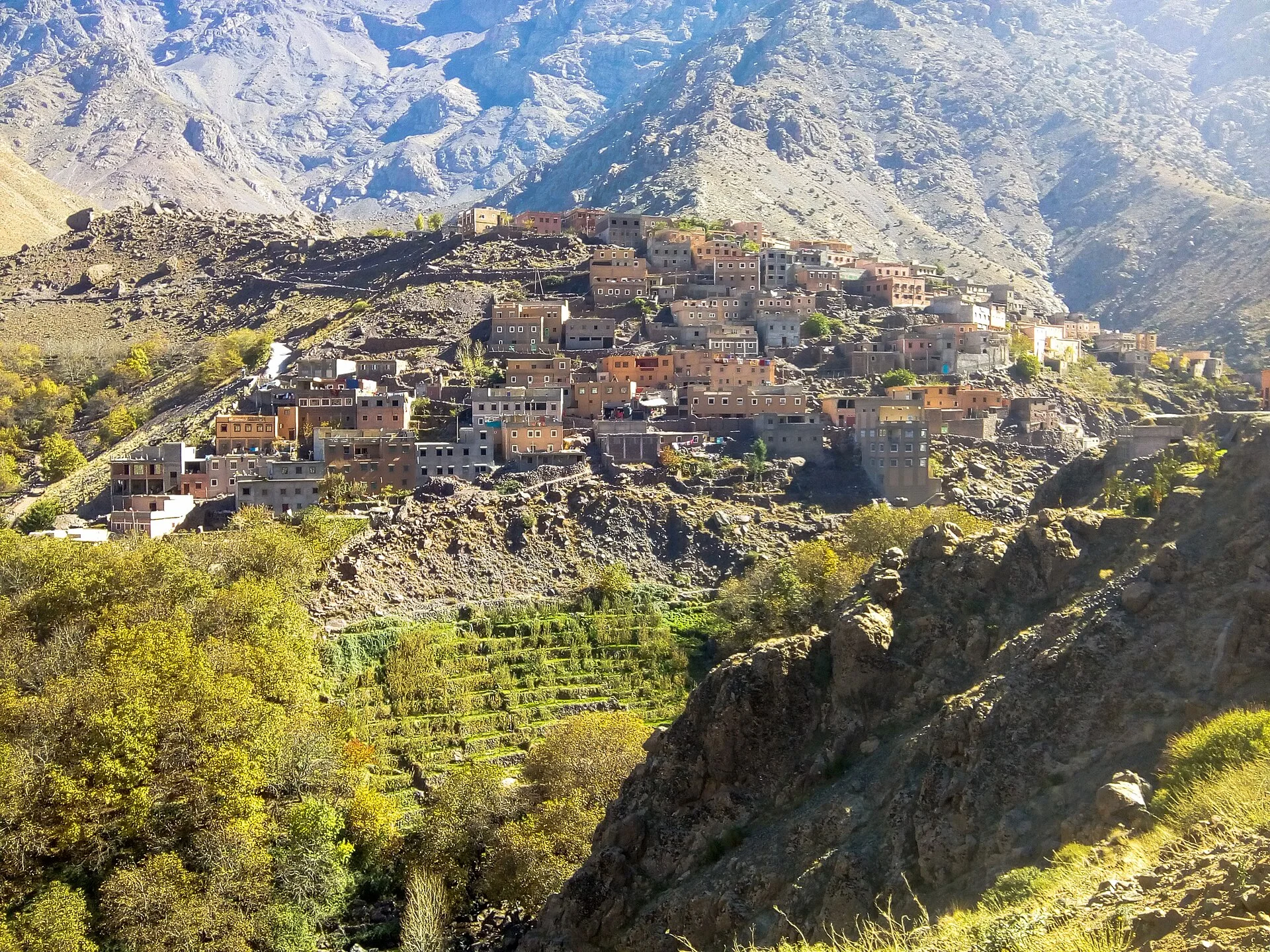
Imlil village and terraced slopes beneath the High Atlas mountains Photo: Mounir Neddi, CC BY-SA 4.0, via Wikimedia Commons
- From Marrakech
- 55 kmas the crow flies
- How long
- 1–4 days
- Nearest airport
- Marrakech Menara (RAK) + 1h drive
- Best time
- April–June and September–November for trekking; December–February for winter mountaineering
The High Atlas trekking village an hour from Marrakech, North Africa's highest summit within two days' walk of its lanes.
Imlil is the point where the High Atlas comes closest to Marrakech — a Berber village at 1,740 m in the Toubkal National Park, about 60 km and 75–90 minutes' drive south up the Mizane valley. It serves as the base camp for Jbel Toubkal (4,167 m), the highest peak in North Africa, and as the hub of a web of mule tracks linking villages that can only be reached on foot. Even if your boots never come out of the bag, the drive earns its place: terraced cherry, walnut and apple orchards rising above the Asni market, and the hamlet of Aroumd gripping a ridge above the valley. From Marrakech, travellers use Imlil both as a straightforward mountain day and as the launchpad for the Toubkal ascent — a walk in summer, a crampons-and-ice-axe undertaking in winter.
Where it sits
Imlil on the map.
Imlil is about 55 km south of Marrakech in a straight line; the road is longer. The line on the map is that straight line, not the route your driver takes.
Map: Marrakech to Imlil
- MarrakechView on OpenStreetMap
- ImlilView on OpenStreetMap
- Atlas MountainsView on OpenStreetMap
- Ourika ValleyView on OpenStreetMap
- Agafay DesertView on OpenStreetMap
Map data © OpenStreetMap contributors
What to see in Imlil.
Summit Jbel Toubkal (4,167 m)
A two-day, mule-supported ascent — a night at the Toubkal Refuge at 3,207 m, a dawn summit, and the descent back to Imlil that same afternoon. A walk in summer; crampons needed November to April.
Kasbah du Toubkal
A beautifully converted Berber kasbah perched above the village, with Atlas-facing terraces, a hammam and arguably the finest mountain lunch in Morocco — the obvious base for any visit.
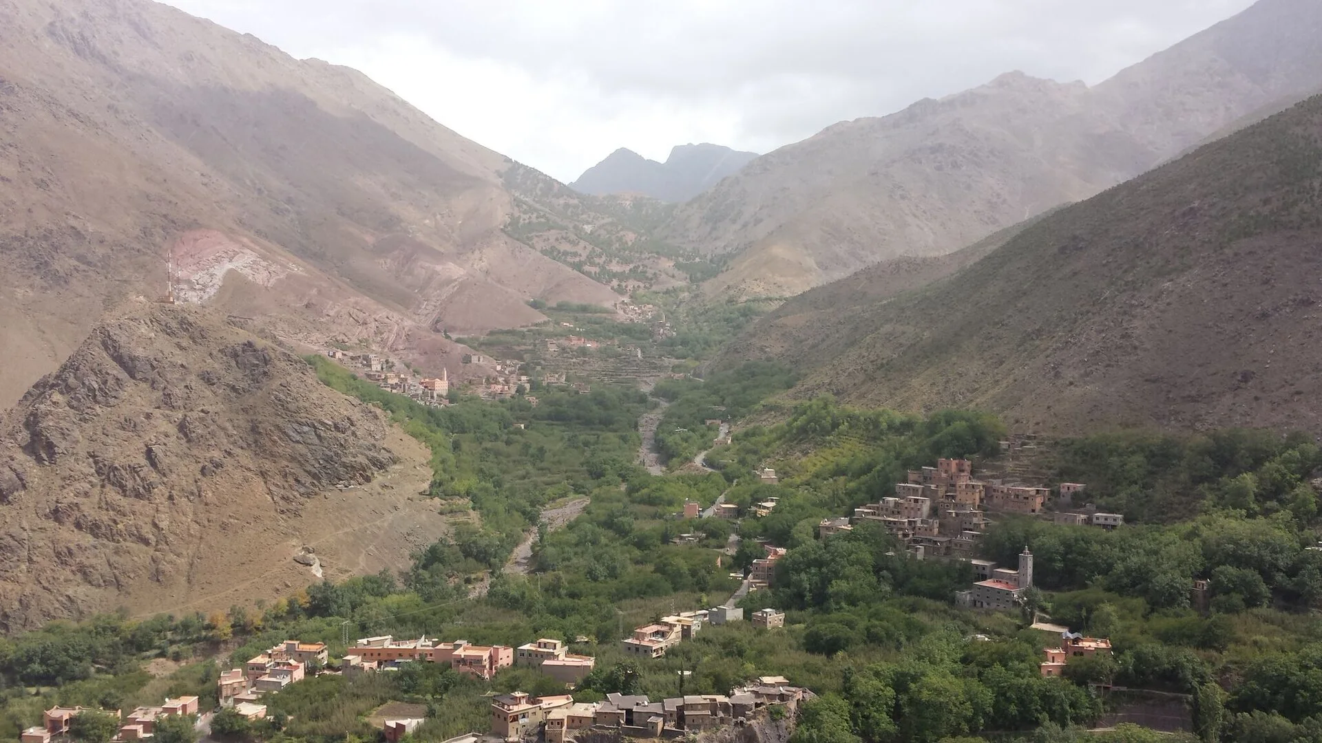
Mountain valley and village buildings at Imlil, Morocco Photo: Said jdidi, CC BY-SA 3.0, via Wikimedia Commons Village walks to Aroumd and Sidi Chamharouch
An easy two-hour walk to the hanging village of Aroumd, or three hours up the Mizane valley to the whitewashed Sidi Chamharouch shrine at 2,310 m — rewarding day hikes that ask nothing of the summit.
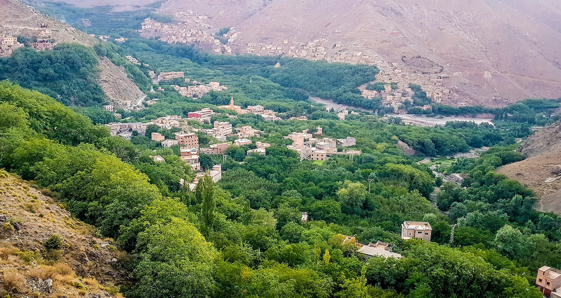
Green valley and hillside homes at Imlil in the High Atlas Photo: Mounir Neddi, CC BY-SA 4.0, via Wikimedia Commons Berber villages and mule-track circuit
A four-day traverse stitching together Imlil, Tacheddirt, Tizi n'Tagharat and Ouaneskra — high passes, remote gîtes and an unbroken Atlas ridge in view the whole way.
Trips
One tour that visit Imlil.
Every itinerary is private and built around your dates, with a proper stop in Imlil. Each one is priced in a written quote within 24 hours.
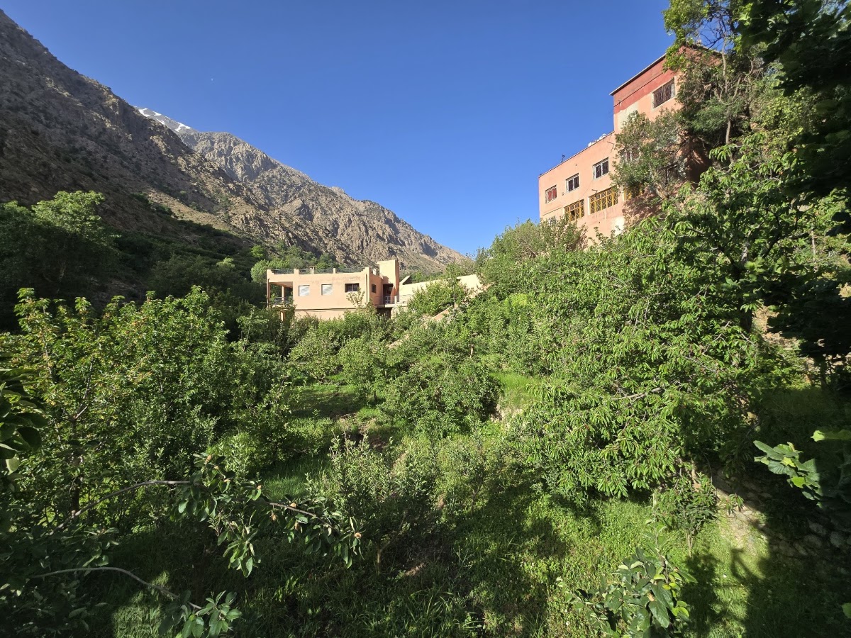
Plan your Imlil days
- Private your group in its own car
- 24 h a written quote
- Free nothing to pay to ask
Imlil, answered.
How hard is the Toubkal summit trek?
Can I visit Imlil without trekking to the summit?
What is the best time of year to trek in Imlil?
How far is Imlil from Marrakech?
Before you go.
- Getting there
- 60–65 km from Marrakech — about 75–90 min by private car via Asni; no public transport runs all the way to Imlil
- Guide permit
- A licensed mountain guide has been compulsory for the Toubkal summit since 2018; we arrange one for you
- Altitude
- Imlil 1,740 m · Toubkal Refuge 3,207 m · summit 4,167 m — settle into Marrakech for 1–2 nights to acclimatise first
- What to bring
- Sturdy hiking boots, warm layers (summit nights can fall to −10°C), sun protection and a headlamp
Pair Imlil with.
From the journal.
Have your Imlil days planned by a local.
Tell us your dates, group size and pace. We send a written proposal within 24 hours: private guides, transfers, riads, the lot.